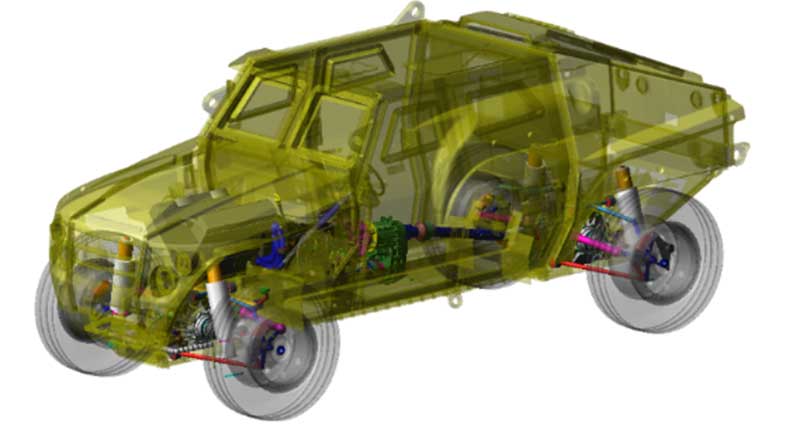
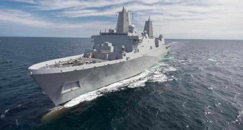
Assured PNT, Autonomous Solutions
Hexagon US Federal builds solutions that incorporate this established commercial positioning, navigation, and timing (PNT) and autonomous technology.
We bring an extensive depth of experience, skills, and facility and staff security clearances.
Hexagon US Federal provides the Luciad geospatial visualization and data integration SDK, that enables partners to develop high performance applications that connect to real-time data sources. Our platform is ideal for system integrators developing applications that integrate extensive amounts of data related to location and operational status of mission assets and sophisticated geospatial visualization and analysis into larger mission-specific solutions.
Hexagon US Federal brings a wealth of experience in performing geospatial production services that include high volume topography, maritime and elevation production. We also provide cloud-based automated cartography solutions in our Cartographic Web Services (CWS) solution.
Our integrated public safety and incident management solutions help our government customers and service providers perform mission-critical functions, protecting personnel and property, including entire military installations. Our All Hazards approach provides the ability to also address threat assessment, planning, recovery, and remediation aspects.
Hexagon US Federal offer the following Enterprise services:
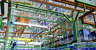
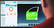
We offer solutions that improve the efficiency and reduce the risk of complex industrial and production processes and systems. We also offer specific solutions that...
Learn how our products can meet the needs of your mission.