Whether your LiDAR projects require topographic data, mapping the littoral zones or triple canopy FOPEN, Hexagon US Federal has the tools to enable the US Government and Department of Defense to acquire the data you need.
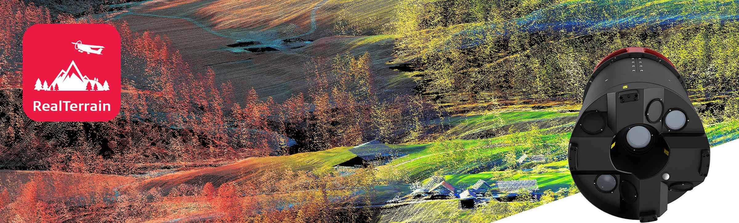
Leica TerrainMapper-2
The Leica TerrainMapper-2 is XYZ and features:
- 2 MHz pulse rate data capture
-
Gateless MPiA – up to 35 MPiA zones handled simultaneously
- Full Wave Form with real-time waveform to range processing
- Minimum pulse separation less than 50 cm
- Up to 15 returns per outbound LiDAR pulse
- Can be upgraded to CityMapper 2 LiDAR sensor
- 150 mp MFC150 camera
Sigma Space SPL100
The SPL100 features:
- 6 MHz pulse rate data capture
-
Highest efficiency sensor for large collection areas
- High pulse rates for high density data coverage
- Triple Canopy FOPEN
- Green laser for both topographic and bathymetric capabilities
- Can be upgraded to the SPL100-HA (higher altitude) or configured to operate in Gimbal