AGRICULTURE
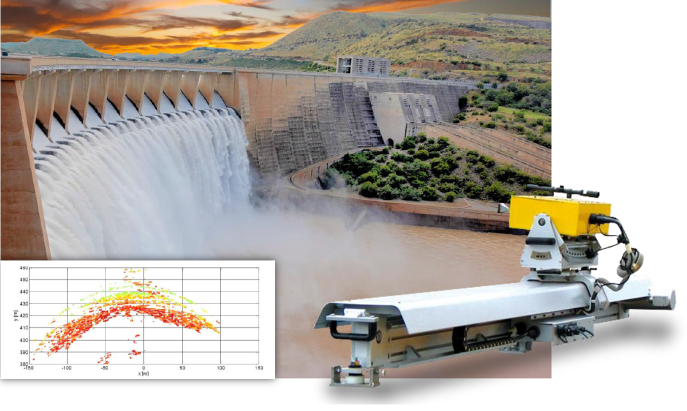
Detect damaging or potentially life threating deformations in critical infrastructure with our interferometric radar products. Discover buried objects, analyze the condition of bridges or detect voids under runways with our suite of ground penetrating radar products.
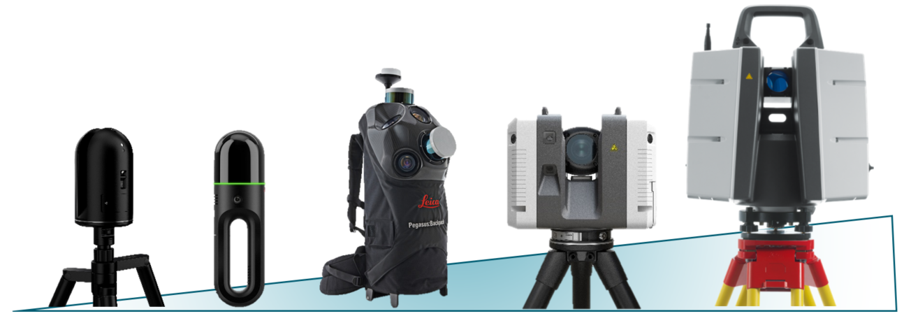
An unrivaled selection of terrestrial and mobile mapping products for a wide range of tasks such as surveying, construction, crime scene analysis and creating exquisitely detailed digital twins of the real world.
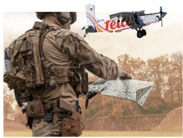
Airborne LiDAR, airborne bathymetry and imaging sensors and drone-based solutions for collecting richly detailed imagery and terrain .information in support of a range of tasks, including mapping, mission planning and rehearsal.
We offer a complete suite of multidisciplinary capabilities for all modeling and simulation requirements.
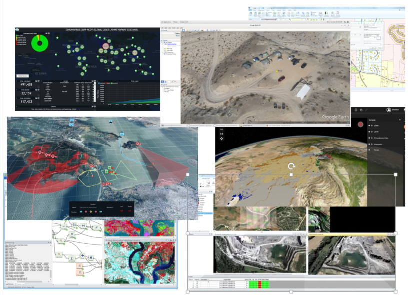
Geospatial software for a wide range of collection, visualization and analysis applications on desktop and mobile platforms
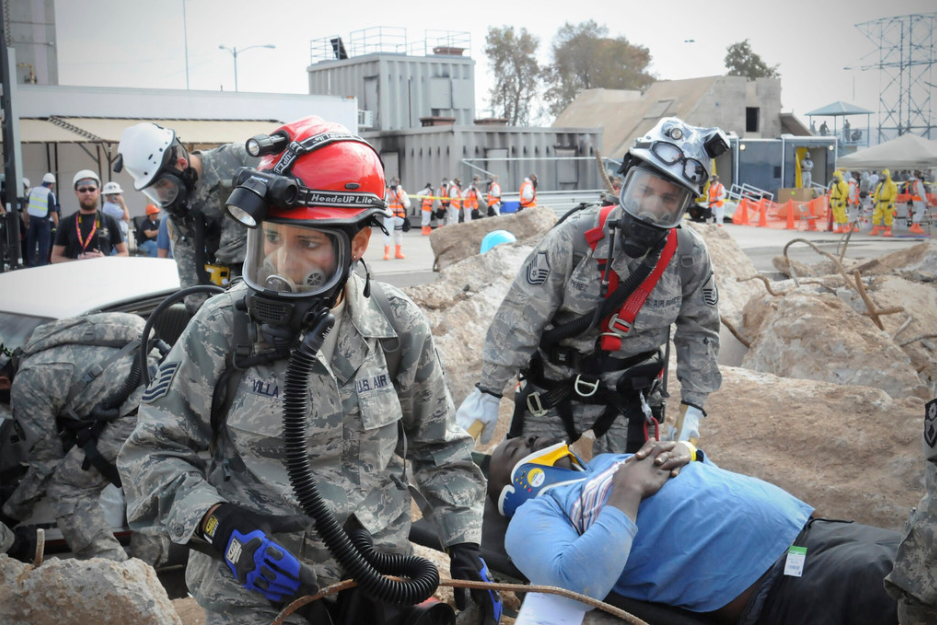
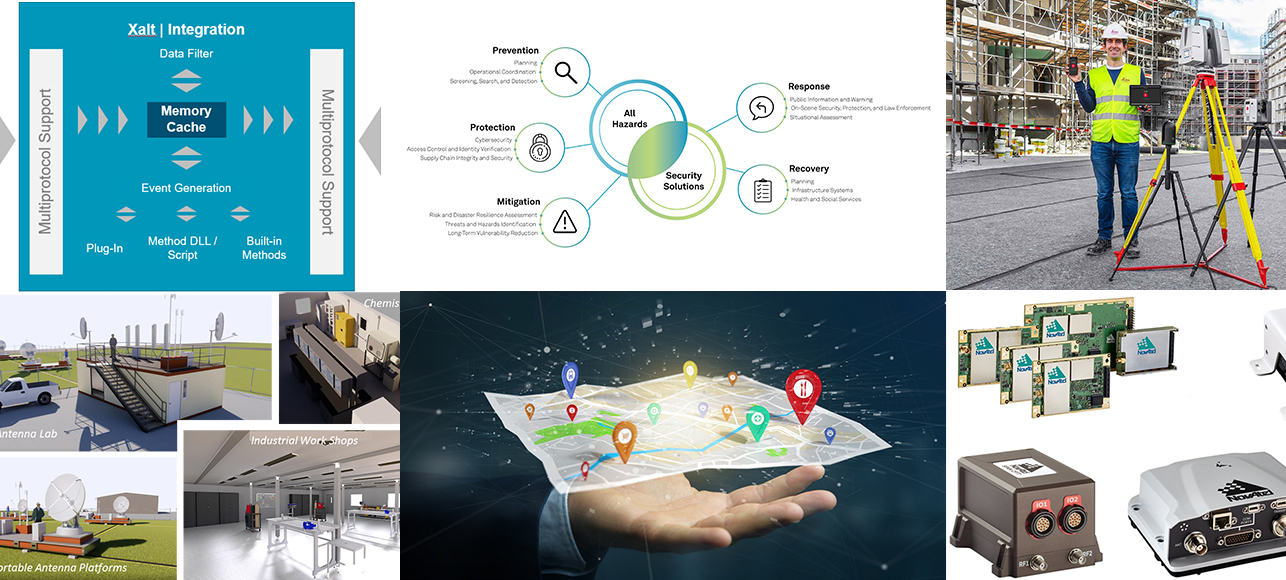
Cloud-based Computer Aided Dispatch and records management for incident response, public safety, and All-Hazards.
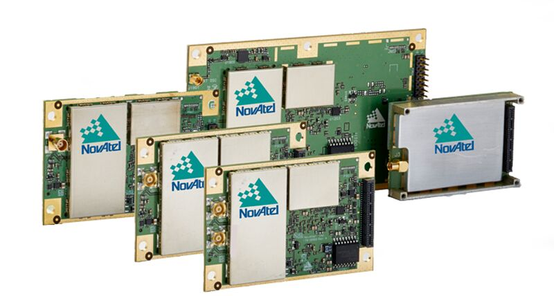
Hexagon’s NovAtel OEM GNSS receiver platform offers multi-constellation, multi-frequency tracking and features flexibility, low power consumption, field upgradeable software and comprehensive message suites for ease of configuration and data logging.
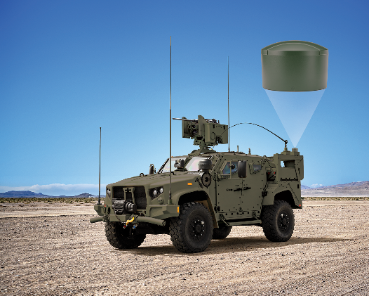
NovAtel, part of Hexagon, is a global technology leader, pioneering end-to-end solutions for assured autonomy and positioning on land, sea, and air. For NovAtel, positioning is only assured when it is precise, accurate, reliable, available and authentic. Our products include global corrections services, anti-jamming, and anti-spoofing, as well as advanced algorithms for specialized applications.
Built upon more than 30 years of experience and continuous innovation, HxGN EAM (formerly Infor EAM) helps organizations shift their critical asset management to a prescriptive maintenance approach as they evolve from Asset Management to Asset Performance Management (APM).