AGRICULTURE
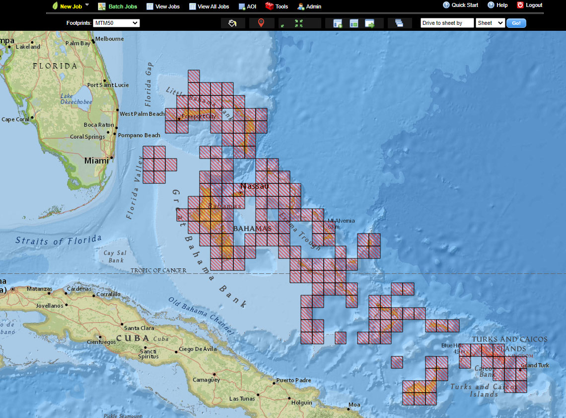
Proven commercial off-the-shelf (COTS) solution for the rapid and automated production of cartographic products, Cartographic Web Services (CWS) currently produces series-based maps at the national mapping agency level for military and humanitarian missions.
Now more than ever, decision-makers need instant access to accurate and detailed intelligence products to protect citizens, respond to catastrophic events, and support the warfighter. To meet this need, Hexagon US Federal offers our cloud-based automated map finishing solution, Cartographic Web Services (CWS), which is a customizable web-based solution for automating all parts of the workflow for generating digital cartographic products in a very accurate and timely manner.
Incorporation of automated cartographic finishing enables map production organizations to stand up highly performant web services for on-demand map generation.
CWS operates in the cloud and rapidly completes all aspects of the map generation process, making it ideal for large national mapping organizations to fulfill their requirements.
Including generalization, contour generation, symbol deconfliction, placement of grids, graticules, marginalia and, and more.
Enables collection and analysis of data from disparate sources to increase situational awareness, enhance decision-making, reduce risk, and mitigate harm.
Validates your work through rules-based verification and delivers final output that adheres to defined specifications.
Gives special attention to data accuracy and quality checks throughout the process for better map products and reduced rework time.
For more information on CWS, contact us today.
Hexagon US Federal provides the widest range of commercial-off-the-shelf applications and development platforms.