AGRICULTURE
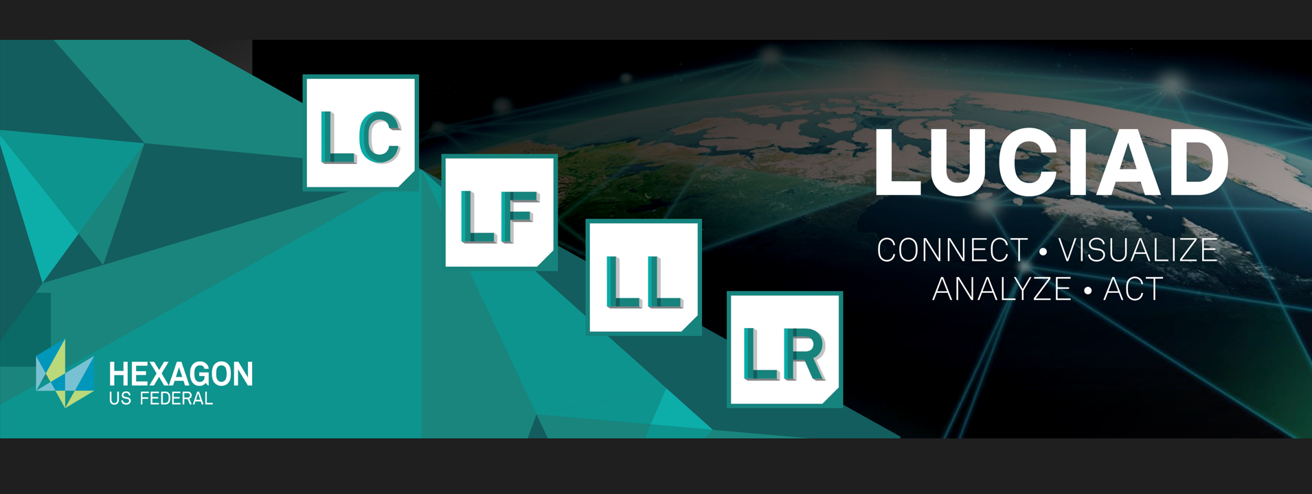
The 2023.1 release brings new features to LuciadCPillar, LuciadFusion, LuciadLightspeed, and LuciadRIA, and improves the developer experience in all products.
As your trusted advisors we want to hear from you! Contact us to discuss your GIS based mission or request a demo license, talk to one our SME and are interested in Luciad pricing. You can also meet the team at upcoming conferences, including GEOINT, AUSA, and I/ITSEC.
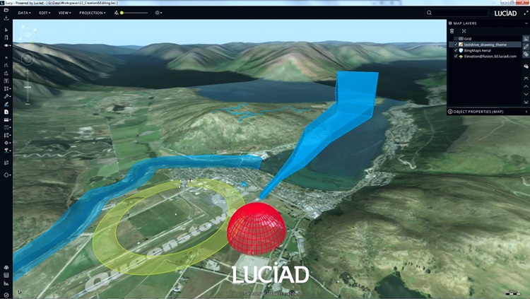
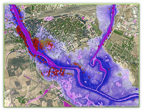
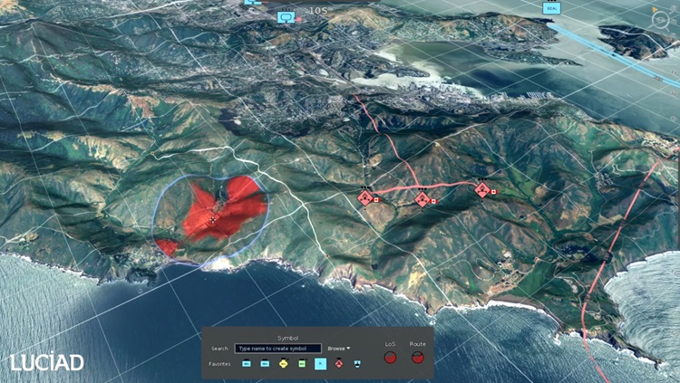
Luciad is the most powerful geospatial toolkit available for critical problem-solving. As a GIS toolset and technology leader, Luciad provides unparalleled power and flexibility to handle complex data for GEOINT, C5ISR, and S/I users. Whether you're managing disaster response, aerospace, air defense systems, or operate in a modeling and simulation domain, the Luciad Portfolio connects all your data and displays it in a dynamic common operating picture (COP) for complete decision-making.
With customizable geospatial visualization and analytic capabilities, Luciad is a flexible solution for all your geospatial requirements, including custom application development and integration with existing systems.
Luciad stands alone in the geospatial market with advantages such as:
Interoperability: Luciad can enhance and work with existing software, saving you time and money.
Flexibility: Luciad works with your on-site server, cloud, private cloud, standalone machine, disconnected environment, connected environment, web, mobile, desktop, PC, Linux, mobile, and more.
Scalability: Luciad can scale and provide an effective way to manage, track and visualize assets an integrated manner, even as your volume of deployed assets increases.
High-Performing: The Luciad Portfolio is specifically designed to handle large volumes of near real-time data coming from any feed. Luciad combines all of this data on-the-fly into a feature-rich environment for visualization and analysis.
Data agnostic: Luciad combines many disparate datasets, regardless of file type, projection, and format for visualization and analysis. This direct and streamlined manner of accessing data eliminates any errors that may be introduced during a data conversion process.

Increased Situational Awareness: The Luciad Portfolio provides comprehensive data intelligence to key stakeholders who operate in the C5ISR, Mission Planning/Flight Planning, Aerospace, Air Defense Systems, and/or Modeling and Simulation domain
Luciad offers SDK desktop interfaces, SDK web interfaces, and full functional backend servers for deployment in any environment.
.ashx?h=100&w=100&la=en&hash=FDBBF24AFB5042A751C9135ED709B320)
Manage your data intelligently, store and process a multitude of data formats and feed data to numerous applications. LuciadFusion enables you to design, portray, process and set up advanced maps in a few simple clicks.
Learn more | Download the brochure (PDF)
.ashx?h=100&w=100&la=en&hash=37EC5E4306F56980C4A8D6D175538EAB)
LuciadLightspeed is the preferred technology for enterprise-wide geospatial situational awareness, with modular, open architecture and meticulous adherence to industry standards.
Learn more | Download the brochure (PDF)
.ashx?h=100&w=100&la=en&hash=3B52FF3857C478908E1A1BBFE17764A3)
Driven by today’s most advanced web technologies, LuciadRIA uses WebGL, HTML5 and JavaScript to deliver desktop-like performance to your web applications. Connect to your data via OGC web services, or simply drag and drop common file formats. The data can be explored in a 2D or 3D map view or a vertical intersection view. For 4D analysis and a richer picture of what’s happening when, combine it with a timeline view.
Learn more | Download the brochure (PDF)
.ashx?h=100&w=100&la=en&hash=0781392F6F6D817A7F15AAF6933E7786)
Create high-performance Command and Control and location intelligence applications thanks to the clean design and modular structure of the LuciadCPillar API. integrate visualization components, add support for custom data or databases, apply your own custom data styling and symbology, or match the user interface to mirror your company’s unique needs and style.
Learn more | Download the brochure (PDF)
There's even more to discover in the latest for Luciad. Learn more, and contact us to schedule a demo.
Learn more about Luciad and try it yourself today.
Hexagon US Federal is a Prime holder for Pool 1: Data Operations on the GSA ASTRO Multi-Award IDIQ