AGRICULTURE
ARTEMIS is a versatile, user-friendly content management platform that leverages sUAS and terrestrial sensors, enabling the collection and use of tactical high-resolution imagery to establish critical situational awareness prior to conducting operations.
Contact us at info@hexagonusfederal.com for more information on how ARTEMIS can support your mission.
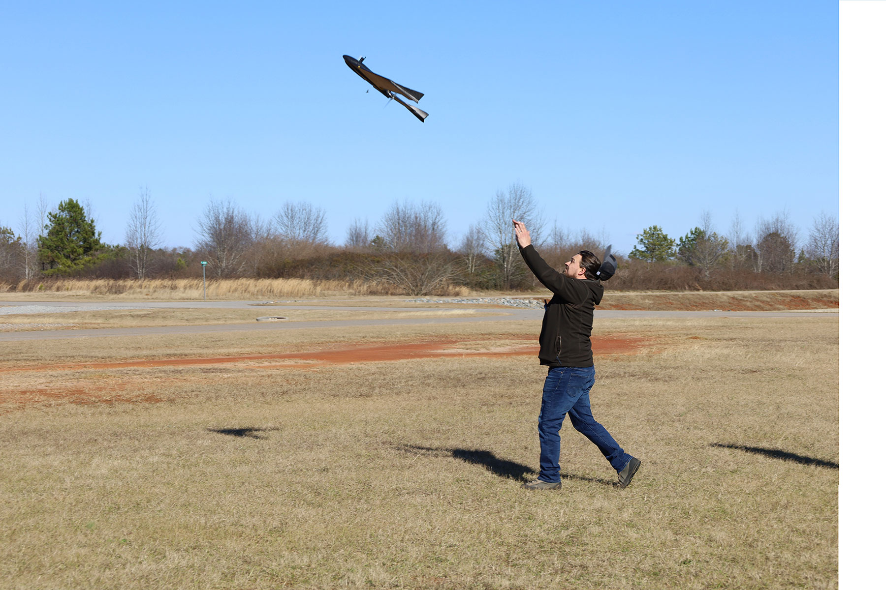
The eBee TAC by senseFly, an AgEagle Aerial Systems Inc. company, is an integral component of ARTEMIS ™. In March 2022, Defense Innovation Unit (DIU) announced the eBee TAC as the first approved drone to be added to the Blue UAS Cleared List.
This Blue UAS approval makes the eBee Tac available to the DoD without a waiver in most instances, as well as to Federal Government customers.
As of May 2022, the ARTEMIS kit (and its variants), spare parts, eBee TAC and training are all available directly through the Hexagon US Federal GSA schedule. (Note: ARTEMIS SKUs are listed on the last page which is page 62.)
Search GSA Advantage for the ARTEMIS SKUs.
ARTEMIS is based on 100% commercially-available technology with no ITAR restrictions. The platform is widely used and is deployed with numerous military units. ARTEMIS can operate autonomously in a fully-disconnected environment and provides high-resolution imagery collection at a low cost.
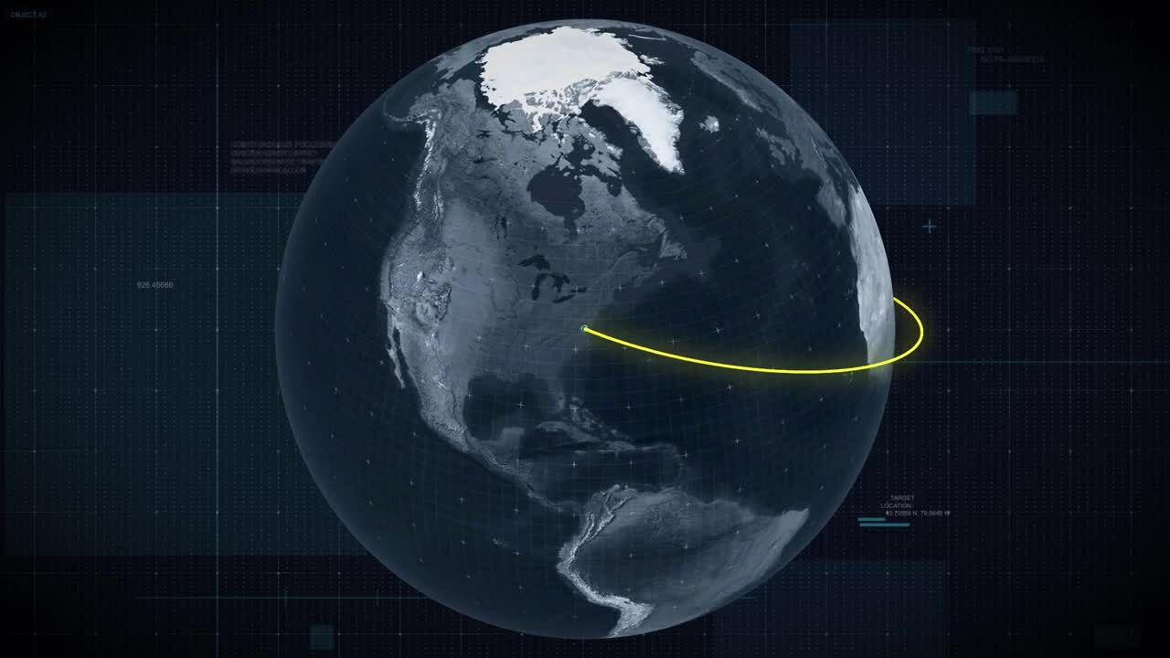
ARTEMIS includes the Google Earth Enterprise Platform (GEEP),a series of software tools designed to create, manage, and operate private 3D or 2D globes utilizing private imagery, vector, terrain, and other content.
GEEP provides enhanced security features not found in commercial and open-source Google products, operates as either server-side or cloud-based and can be deployed to disconnected or highly secure networks.
YouTube: https://bit.ly/3be6UOa
LinkedIn: https://www.linkedin.com/feed/update/urn:li:activity:6772896882139164672
GEEP is an enhanced and secure version of Google Earth Enterprise that allows for the management of geospatial data, to include raster, vector, and terrain.